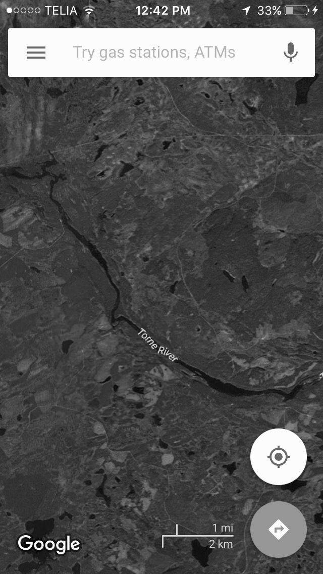
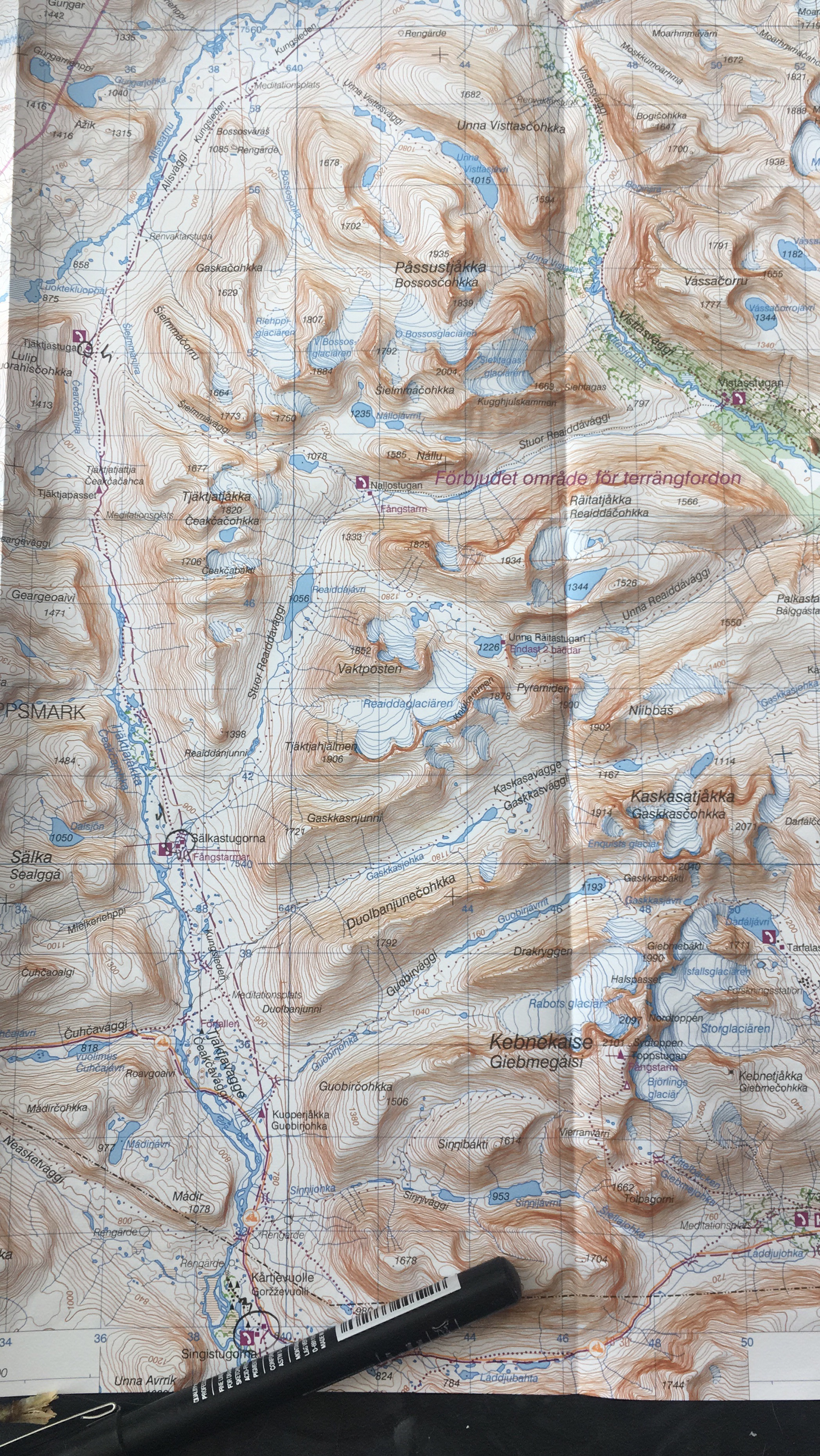
Satellite guides for the Torne RiverTopographical Map of the Kungsleden area
Sunset Clouds from Google over Paitaasjärvi
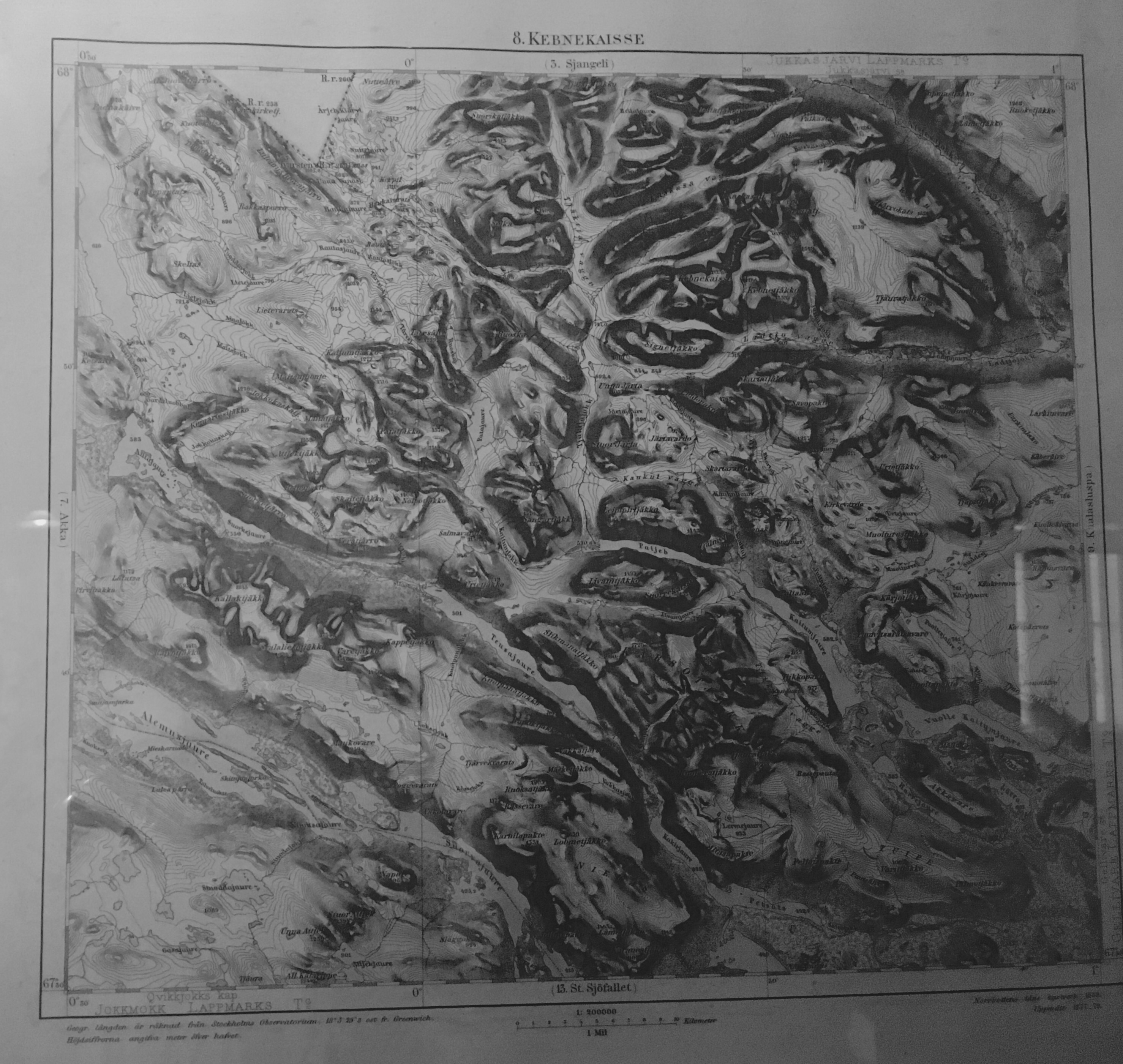
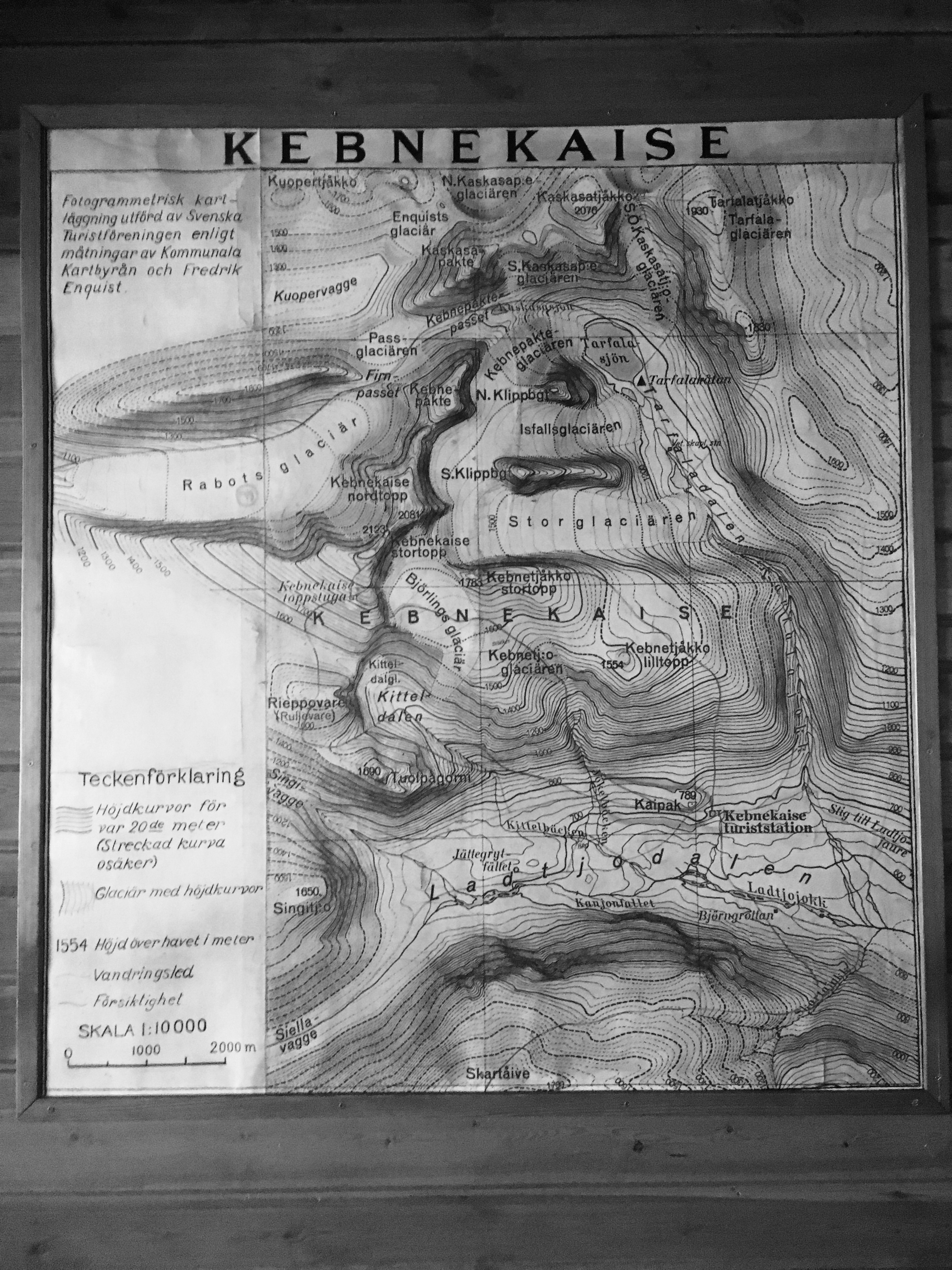
Kebnekaise Massif
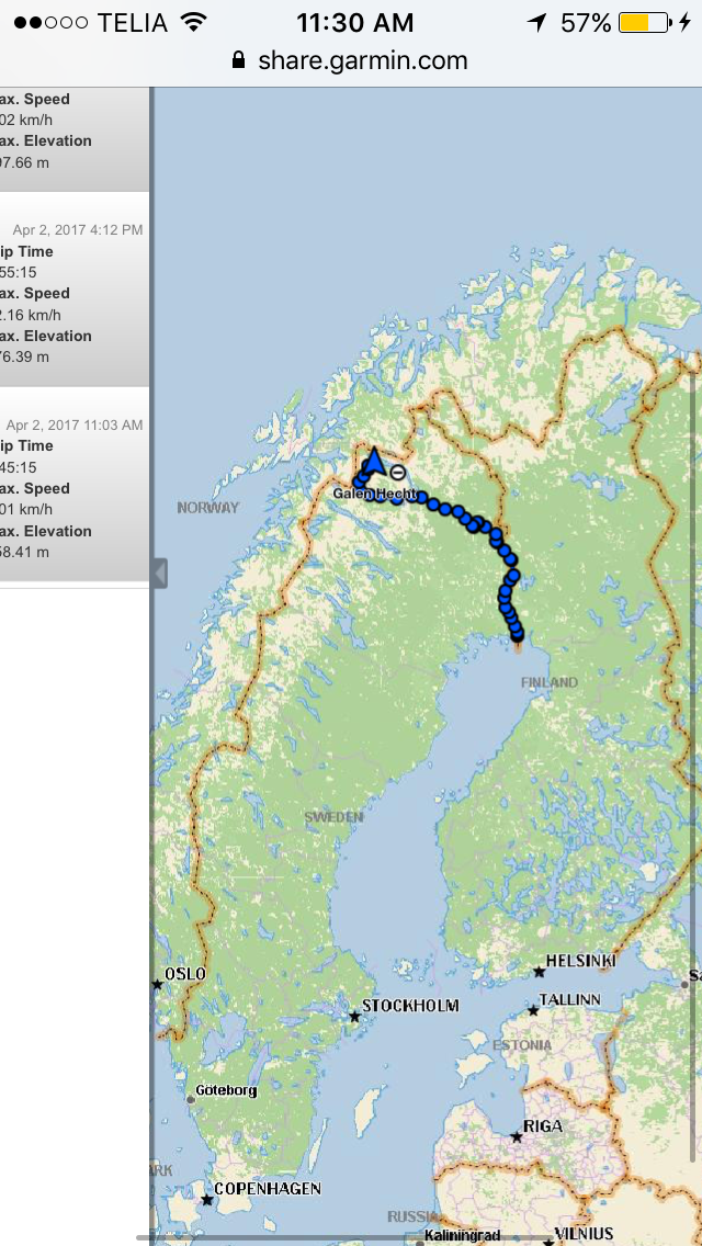
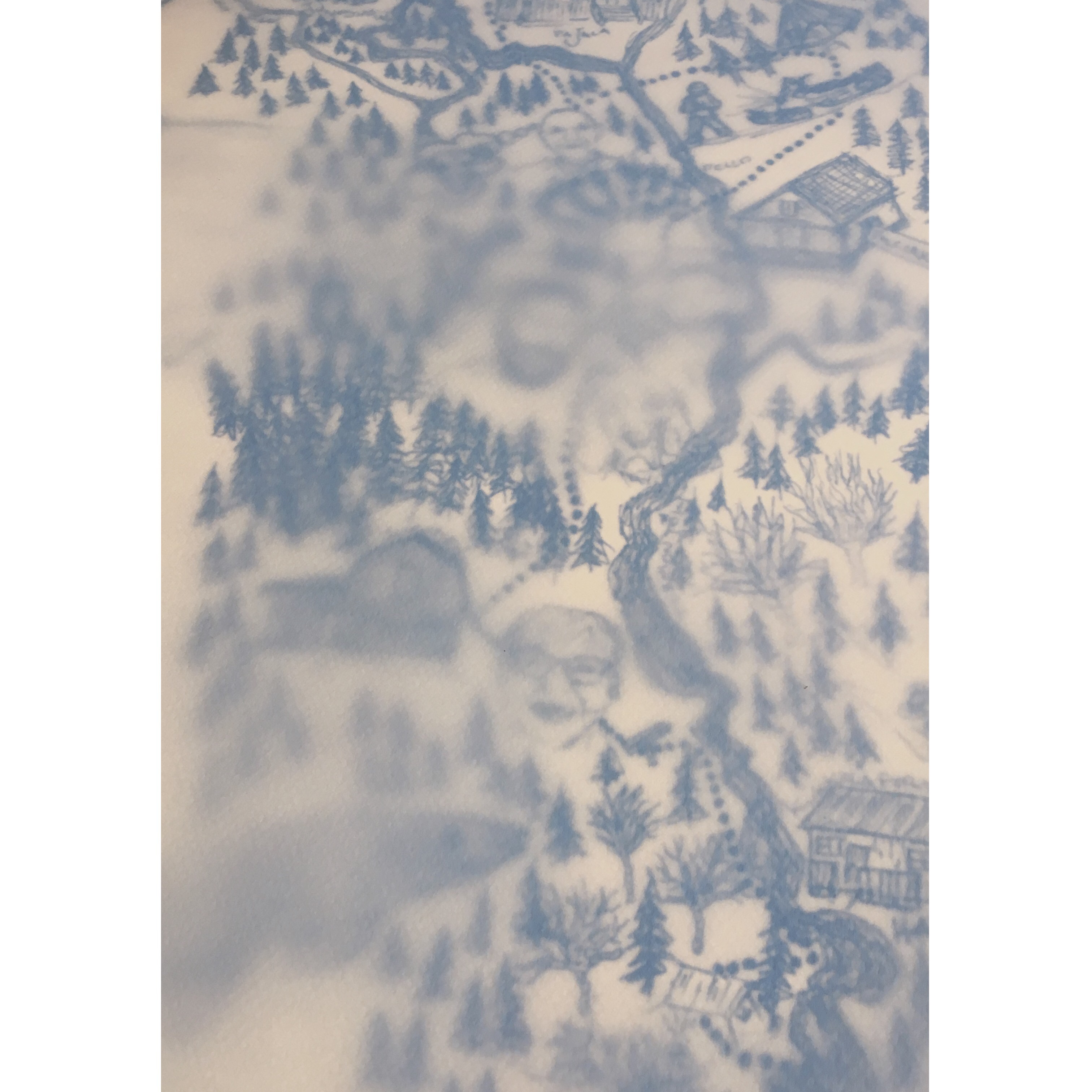
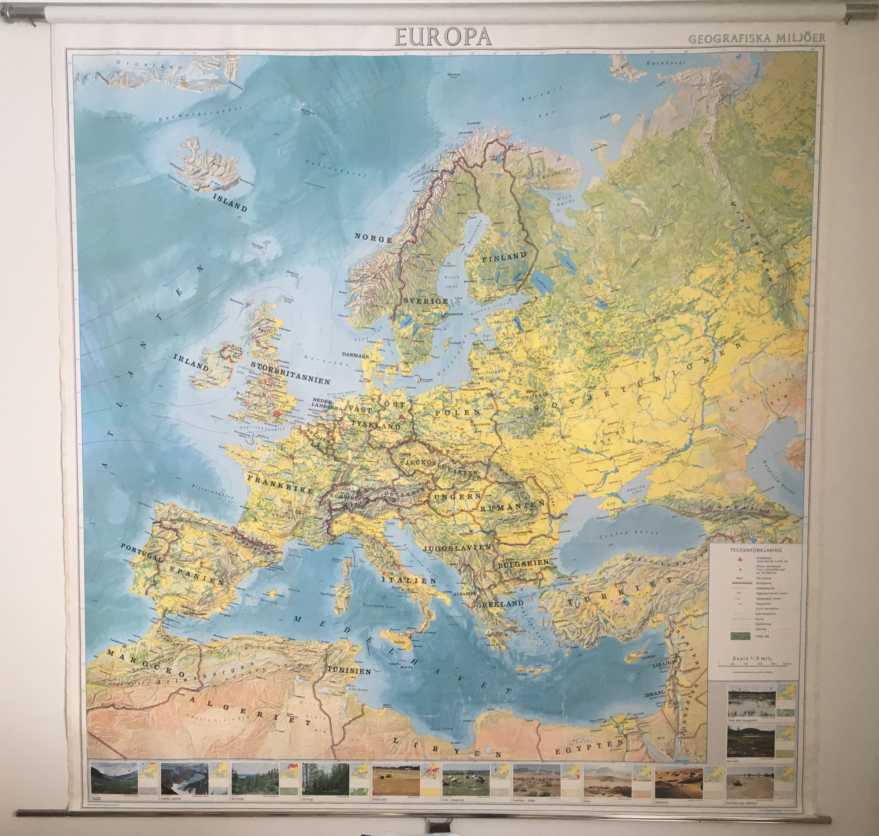
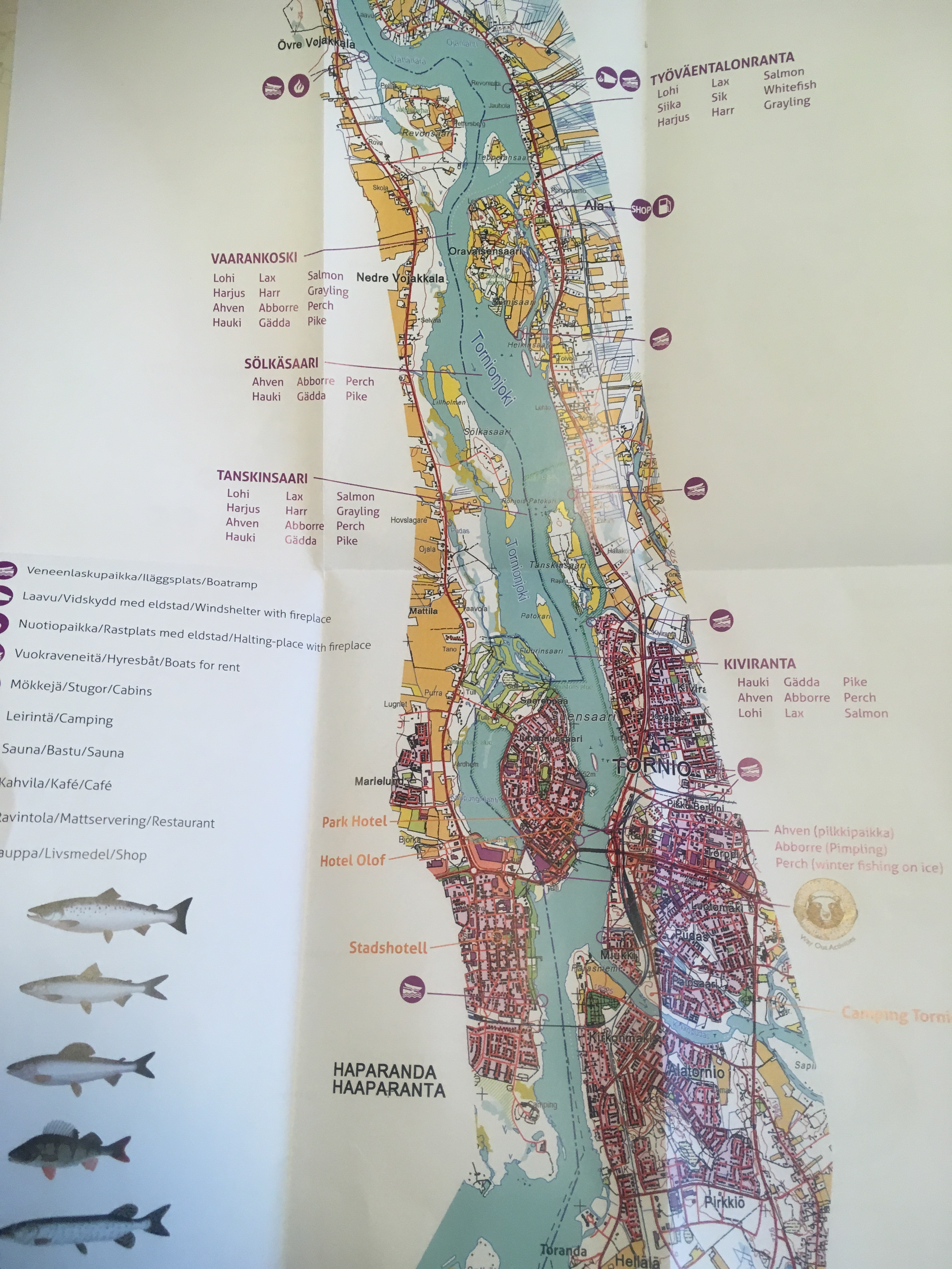
The full route over 580km up the Torne RiverMy own rendering of the Torne Route in progressMap of Europe with Soviet Unionfishing map of lower torne river
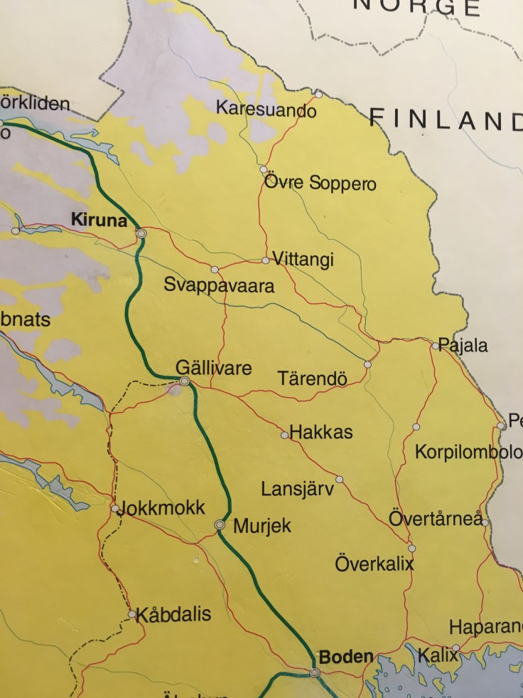
Maps on the train from Stockholm to Kairuna
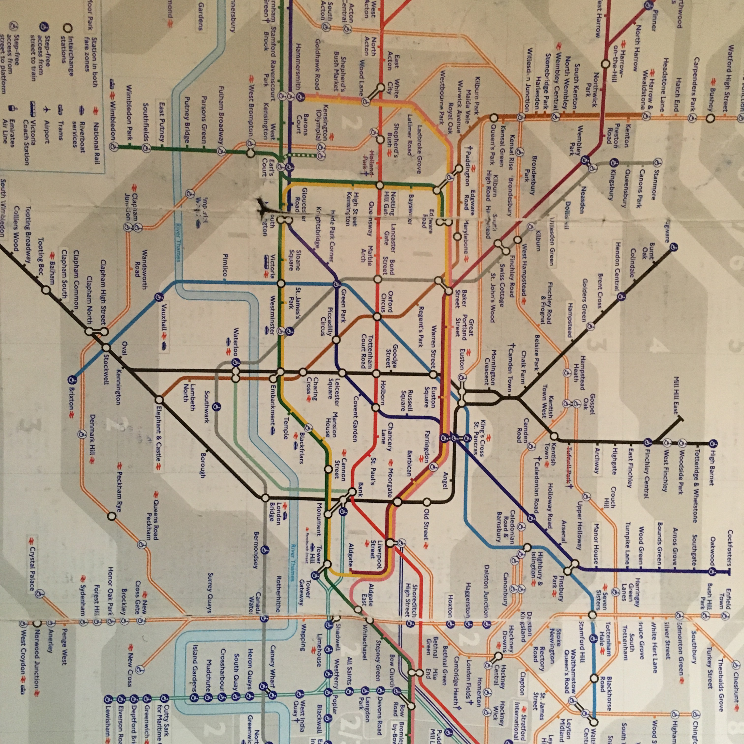
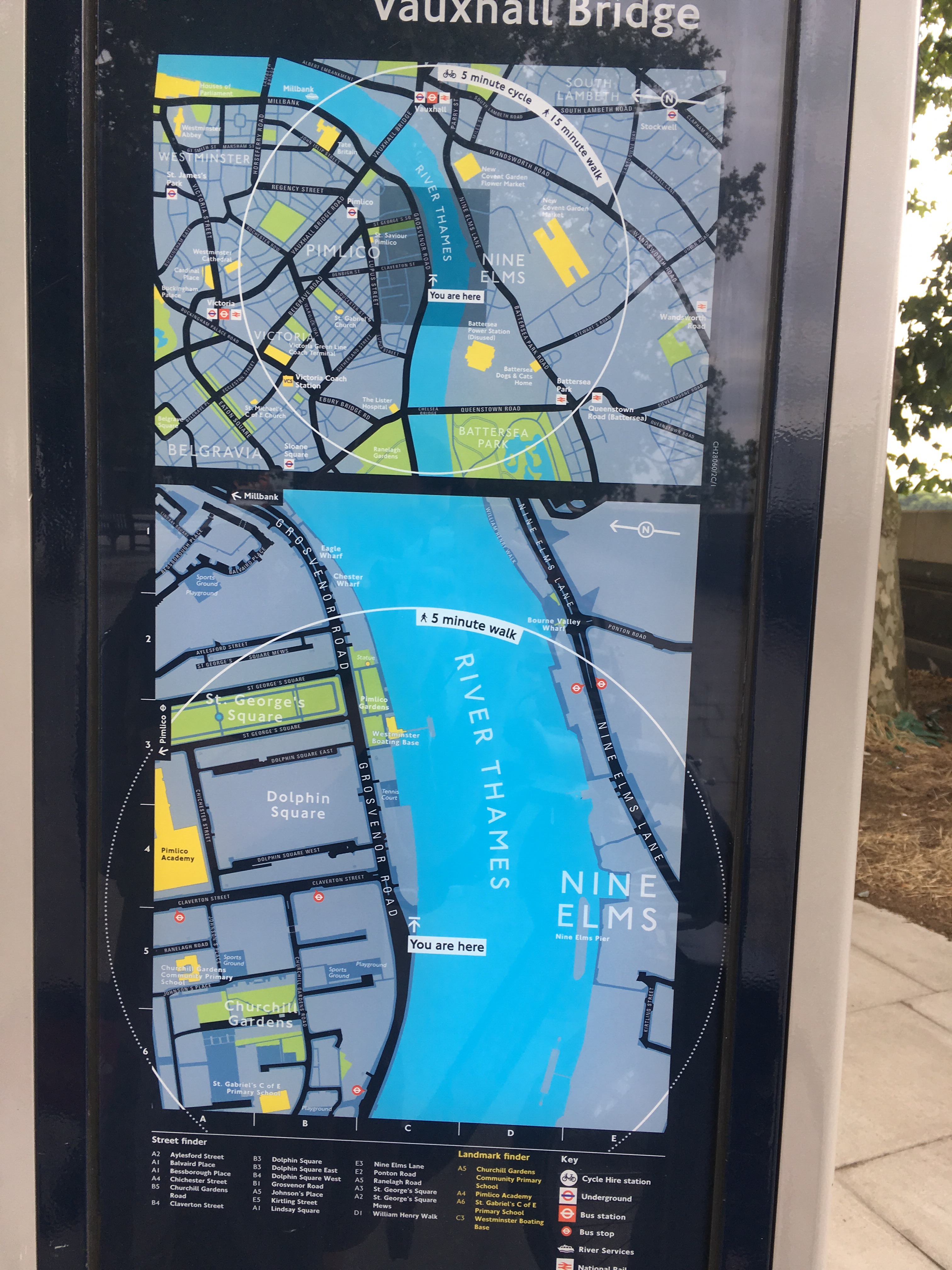
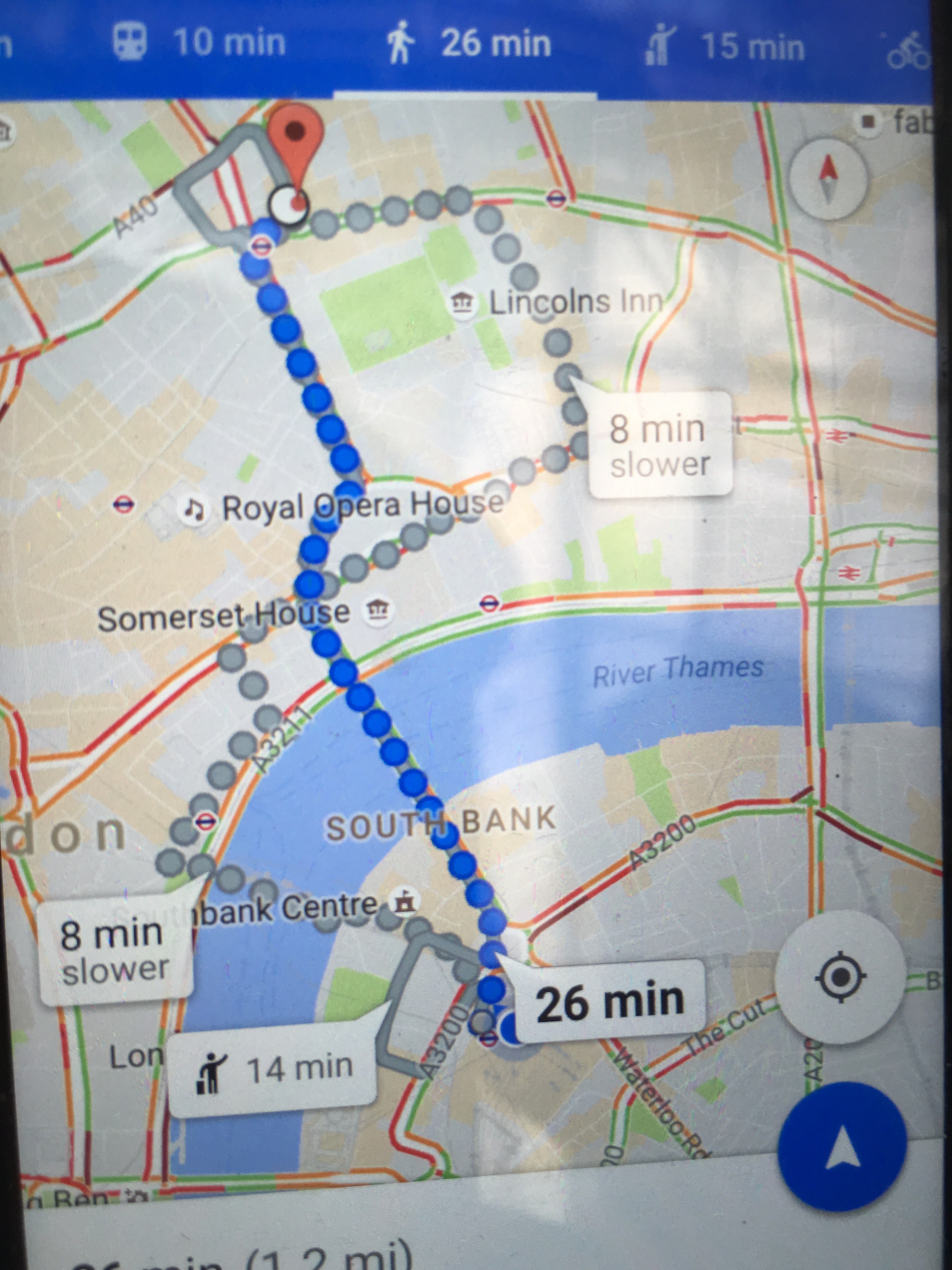
the tube map-modern artlondon city mapson the phone, a classic- citymaps


Recent Comments